Community planning area- Mesa and Powderhorn
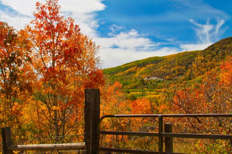
The Mesa/Powderhorn planning area is located approximately 25 miles east of Grand Junction and contains 29,096 acres or 45.5 square miles. Boundaries of the Plan area extend from Plateau Creek on the north, to the Powderhorn Ski Resort on the south (approximately 12 miles). East and west boundaries extend about two miles either side of Highway 65. The planning area includes two rural communities – Mesa and Powderhorn – connected by the Highway 65 corridor.
Community Planning Areas - Mesa / Powderhorn Plan (2012)
Community Planning Areas - Grand Mesa Slopes - Special Management Area